SEP 2011 – MAY 2013, VANCOUVER, BC
Project I: Risk and Hazard Earthquake Analysis, Standalone Software
Description:
Developed a standalone software tool for conducting risk and hazard earthquake analysis. The application facilitated comprehensive data analysis and visualization of earthquake risks across British using advanced mapping techniques.
Columbia using advanced mapping techniques.
Responsibilities:
- Designed and developed the standalone software to analyze and visualize earthquake risk data.
- Used ArcGIS to divide British Columbia maps into grids for detailed geographic analysis.
- Built the graphical user interface (GUI) using Java Swing, ensuring intuitive navigation and user-friendly design.
- Implemented robust data parsing, sorting, and filtering mechanisms to enable seamless comparison and manipulation of large datasets.
Project II: Seismic Signal Processing, Standalone Software
Description:
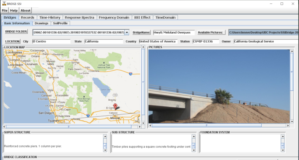
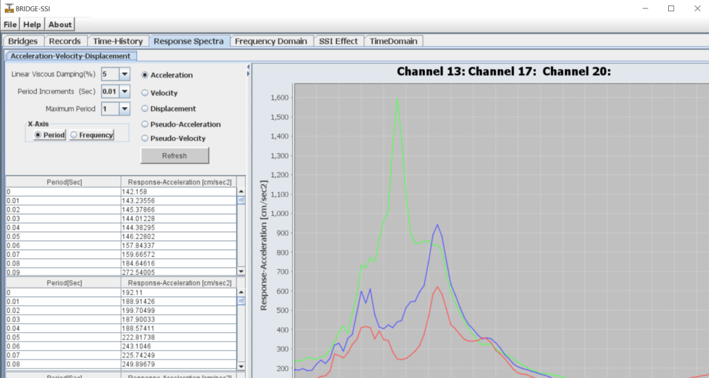
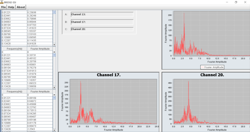
Created a standalone software application for seismic signal processing, enabling researchers to compare and analyze the properties of earthquake records specific to bridges.
Columbia using advanced mapping techniques.
Responsibilities:
- Designed and developed software for seismic signal processing to assist researchers in comparing earthquake records.
- Utilized Java Swing in NetBeans IDE to create a clean, responsive user interface with components like JTable, JPanel, and JTabbedPane for enhanced usability and data management.
- Designed custom data visualization tools for intuitive and engaging displays of seismic properties.
- Integrated interactive charting tools and custom graphical components for detailed visual representation of seismic data.


